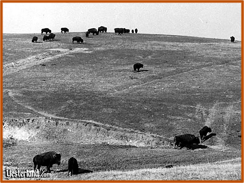
Otto Meet Site Visit

Posted:
Sun Oct 24, 2010 7:09 pmby Bob Kuczewski
Re: Otto Meet Site Visit

Posted:
Thu Oct 28, 2010 8:50 pmby Neil Larson
Fabulous Bob Thank You for the RECON-
I have more info coming - have submitted request for cost of marker -
awaiting reply ... We had 2 near tornados here in 3 days - my appologies for delay-
Neil
aka
Re: Otto Meet Site Visit

Posted:
Fri Nov 19, 2010 11:20 amby Bob Kuczewski
I hope you don't mind my occasional poking and prodding, but what's the next step?
Maybe we could bring Lite Hawk up to the park and set it up as an introduction and demo? Maybe we could have some of our best spokesmen and statesmen there to tell about the history of the site? Maybe we could ask Bill Liscomb for permission to distribute a limited number of free copies of "Big Blue Sky" to the local residents?
Time is ticking past us ...
Re: Otto Meet Site Visit

Posted:
Tue Apr 05, 2011 11:54 amby Bob Kuczewski
When I posted these pictures (October 24th, 2010), this forum was private for the organizers of the 40th anniversary commemoration. They all knew the layout of the area, so I didn't bother to annotate my photos (above). Now that this forum has become public, it might be worth making them a little more clear...
These photos show two possible locations for a site marker. The first two photos were taken of what appears to be an open space location between two homes. It's a good candidate because it faces down the hill to some degree - giving a sense of what the site might have looked like in 1971. The last photo shows a small park located in the center of the circular road. I think this would be the better location because it's already a park, and a small marker would lend to its appeal. It would also be a good place to hold a commemorative picnic where the neighbors could see any hang gliding memorabilia that we could bring for special events - like the 40th anniversary.


